Ulcinj Old Town (Kalaja)
Stari grad Ulcinj (Kalaja)
Drag to rotate · scroll to zoomDrag to rotate · pinch to zoom
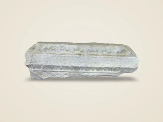
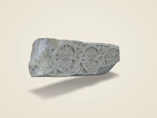
loads {mb} MBObjects that were not scanned but reconstructed: the Old Town as a 3D model from open spatial data and, from photographs, a side of the 9th-century ciborium (National Museum in Belgrade), the plaque with the IHS monogram in the Old Town, coins of Illyrian kings and cities, of medieval Ulcinj and Svač and of the Roman Empire, and finally an Illyrian-type helmet as a sample. A reconstruction is not identical to the original: shape, ornament and dimensions may differ. An exact model will come from 3D scanning the original, and for the town from a drone or lidar survey.
Description
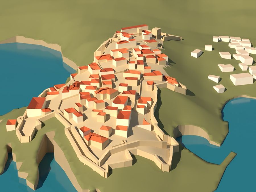
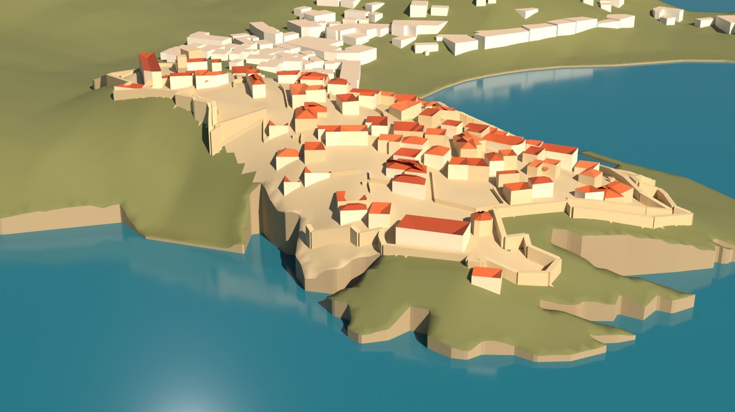
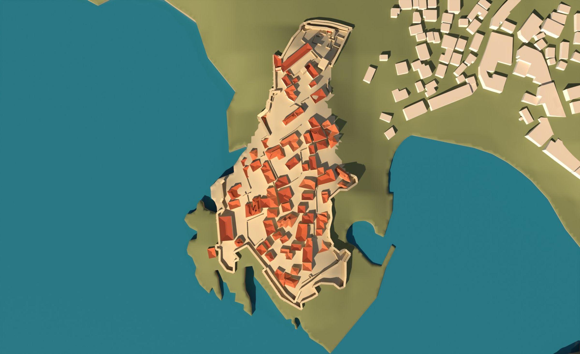
The Old Town of Ulcinj — Kalaja — on a rocky headland between the open sea and the bay of Mala plaža, as a 3D model you can turn and view from the sea, from the land and from above.
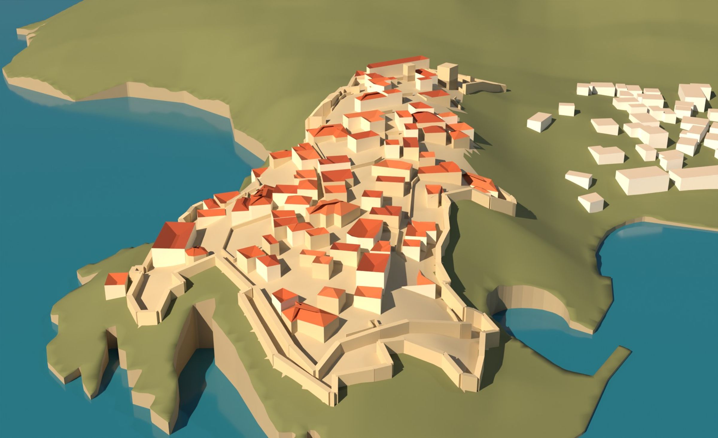
The model is not a scan. It was assembled from open spatial data: the outlines of 83 buildings inside the fortress, the walls, two towers and the coastline come from OpenStreetMap1, and the terrain from the Copernicus DEM at 30 m resolution2, cut along the exact coastline. Measured from these data: the fortress covers 2.86 ha, its perimeter is 988 m, and it spans 319 m north to south and 165 m east to west; the buildings inside the walls cover 8,502 m², and the wall lines in the data are 1,075 m long.
The data give no heights for the houses or the walls, so these were estimated, as stated in the footnotes. The model therefore shows the layout of the town faithfully — streets, blocks, the line of the walls above the cliff — but not the height of any single house. An exact model will come from a drone or lidar survey.
- OpenStreetMap gives neither the number of storeys nor the height for any of the 83 buildings. Storeys were assumed from the footprint area: up to 35 m² one storey, up to 220 m² two, above that three; 3.1 m per storey, hipped roof. In aerial photographs most houses have two to three storeys, so the heights on the model are probably lower than the real ones. ↩
- The terrain is a surface model (Copernicus DSM) at 30 m resolution: it includes buildings and vegetation and smooths the cliffs. On the model the cliffs are a vertical edge along the coastline, not a measured rock profile. ↩
- The thickness of the walls (2.2 m) and their height (2.4 m above the highest ground within 7 m) are assumed; the foot of the walls drops down the cliff to the lowest ground within 10 m. The height of the two towers (9 m above ground) is also an assumption. ↩
- Old engravings of Ulcinj (Dolcigno) show the fortified town in an idealised way and not to scale, so they were not used for the shape of the model. ↩
Plates from the documentation
The texts, measurements and reconstructions on this site are the analysis of the project implementer (3DExperts) and do not represent the views of the Centre for Culture Ulcinj, the Museum of Ulcinj or the Tourist Organisation of Ulcinj. The findings and interpretations are to be confirmed by the competent institutions and specialists engaged in this research.
Literature and sources
- Podaci © OpenStreetMap contributors, licenca ODbL 1.0; tvrđava: relacija 10383454 „Tvrđava Ulcinj – Kalaja e Ulqinit“, www.openstreetmap.org/relation/10383454 (preuzeto 08.10.2026).
- Copernicus DEM GLO-30, © DLR e.V. 2010–2014 i © Airbus Defence and Space GmbH 2014–2018, u okviru programa Copernicus (Evropska unija, ESA), doi.org/10.5270/ESA-c5d3d65.